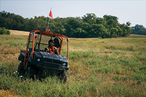
Our survey department consists of ten survey crews with approximately 10-15 staff per crew. We are in the process of adding more crews as properly qualified personnel are employed and trained. We also retain contract survey crews on an as needed basis. Our in-house survey crews are comprised of a Head Surveyor, Assistant Surveyor, and approximately six pack operators as well as one to three hazard mappers. We also have at least one TigerNav survey technician for each vibrator crew utilizing TigerNav Stakeless positioning technology. In the Midland Field Office we have a Survey Manager, Assistant Survey Manager, mappers and a lead TigerNav Survey Tech.
Survey and Mapping technologies include:
- The latest Trimble or Leica GPS/GNSS receivers capable of tracking all available civilian frequencies.
- RTK and Post Processing Software including Least Squares adjustment capabilities
- National Geodetic Survey’s OPUS (Online Positioning User Service) for Survey Control on a regular basis.
- The industry standard GPSeismic software is used for processing GPS/GNSS data In the field
- Multiple GIS quality GPS receivers/data collectors employing ESRI GIS software for access and hazard mapping
- MapInfo software for some mapping as well as ESRI ArcGIS software
- Base Mapping and Database integration handled by our GIS department located in the Midland Corporate office